Thursday, September 30, 2010

A galaxy of your own

(Cross-posted with the Official Google Blog)

Last December, we wrote about our immersive Google Earth environment, Liquid Galaxy: eight 55-inch LCD screens showing Google Earth in a unified, surround view.

Liquid Galaxy at TED 2010


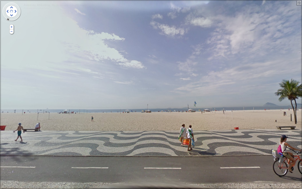
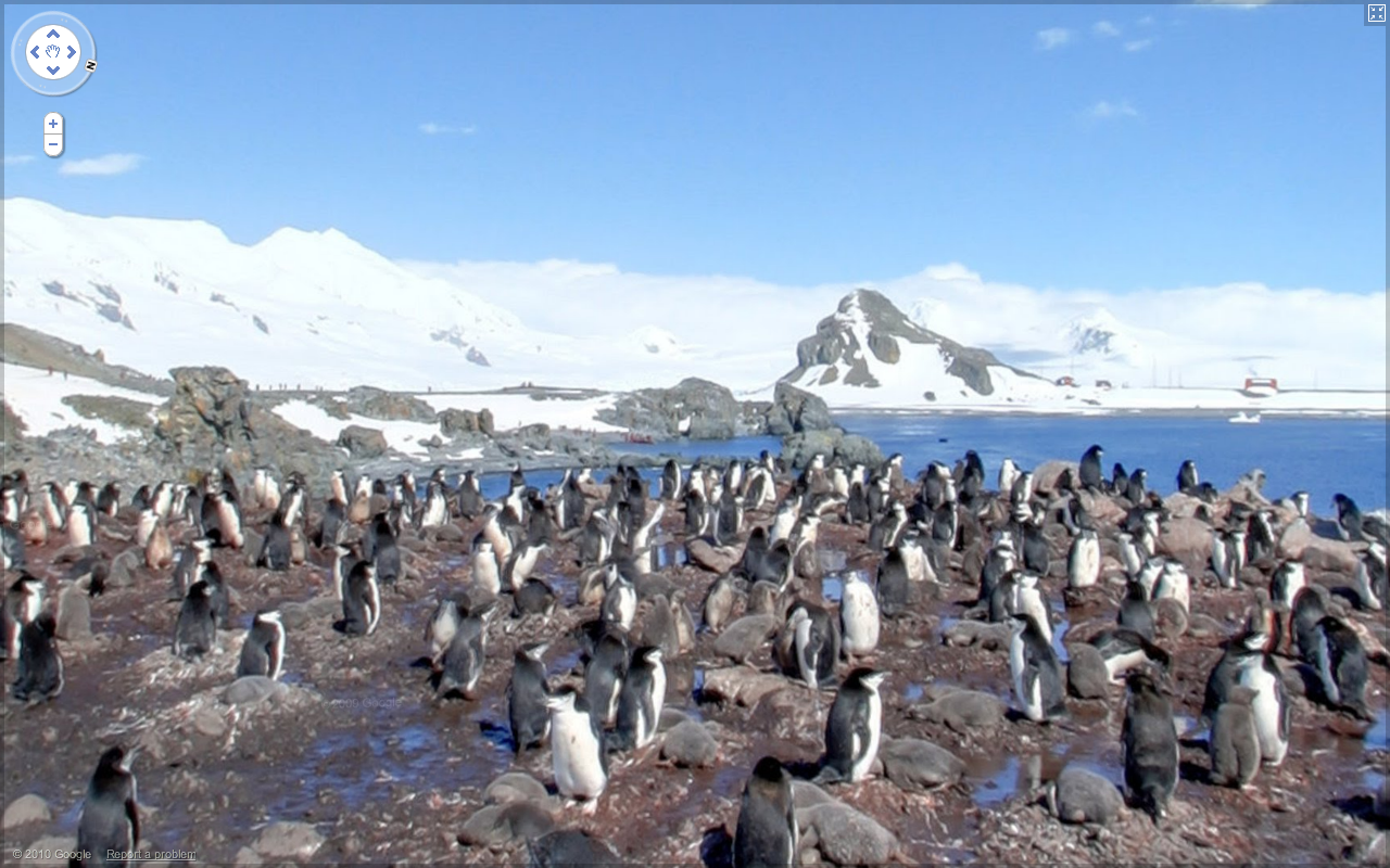
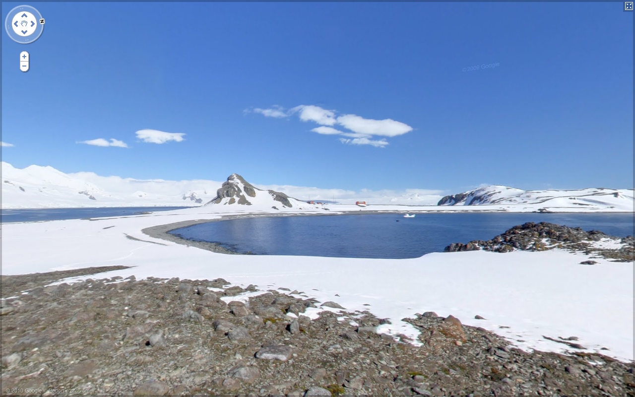
Since then, we’ve taken it to a lot of conferences, built Liquid Galaxies in Google offices all over the world and even put one in the Tech Museum in San Jose, Calif. We love watching people try it for the first time. Almost everybody wants to see their own house first; but then they start to explore, and we can never guess where they’ll choose to go next.

But we just couldn’t bring it to enough people—we could only go to so many conferences, and only friends and family of Googlers could try out the Liquid Galaxies in our offices.

So we decided to put the features that make Liquid Galaxy possible into the latest release of Google Earth, and open-source all the supporting work, from our Ubuntu sysadmin scripts to the mechanical design of our custom frames.


Not everyone will have the know-how to network computers together and get view synchronization working, but we tried to make it as easy as possible. If you think you’re up to the challenge, check out our Quick Start page. You can also contact our supplier End Point if you’d rather buy than build (or just need some professional assistance). Here’s a video they made that shows Liquid Galaxy in action:


Liquid Galaxies don’t have to be made from eight big LCD screens; the view sync features scale just fine from two to dozens of screens. And they can run more than just Google Earth; we’ve had success playing video in sync in our Liquid Galaxies, and even modified a Free Software video game for after-hours fun. We’ve daydreamed about making panoramic movies, head tracking or even real-time video from distant panoramic cameras. Read more on the Liquid Galaxy page at earth.google.com, and show off your creations in the liquid-galaxy discussion group. We’re excited to see what you come up with!


Explore the world with Street View, now on all seven continents

[Cross-posted from the Official Google Blog]

Update
12:01PM:
To clarify, the Street View imagery for Antarctica includes panoramas of an area called Half Moon Island – such as this view of penguins and this one of the landscape. The blue dots you see throughout the continent when dragging the pegman are user-contributed photos.

We introduced Street View back in May 2007, enabling people to explore street-level imagery in five U.S. cities. We were excited to share a virtual reflection of the real world to enable armchair exploration. Since then, we’ve expanded our 360-degree panoramic views to many more places, allowing you to check out a restaurant before dining there, to explore a neighborhood before moving there and to find landmarks along the route of your driving directions.

Three years later, we’re happy to announce that you can now explore Street View imagery on all seven continents, with the addition today of Brazil, Ireland and Antarctica. You can now see images from around the world spanning from the beaches of Brazil, to the moors of Ireland, to the icy terrain in Antarctica.

We often consider Street View to be the last zoom layer on the map, and a way to show you what a place looks like as if you were there in person—whether you’re checking out a coffee shop across town or planning a vacation across the globe. We hope this new imagery will help people in Ireland, Brazil, and even the penguins of Antarctica to navigate nearby, as well as enable people around the world to learn more about these areas.

For example, as summer winds down here in Mountain View, Calif., the famous beaches of Copacabana, Brazil are an enticing virtual travel destination.


The Ring of Kerry in Ireland, with its picturesque rolling landscape, is another favorite new place in Street View.


Speaking of travel, my wife BethEllyn and I embarked on the Minerva for an expedition to Antarctica in late January. We enjoyed stunning vistas, and I found that any minute not spent on deck was a spectacular view missed. Fortunately, we’d planned to take some Street View photos, and are now able to share with you the incredible visuals from Half Moon Island, Antarctica.

Here is a group of Chinstrap penguins we saw on the island.


And this is one of my favorite views. You can see part of the crescent shape that gives the island its name.


I’m very proud of the worldwide Street View team and thrilled that everyone can now see places from all seven continents, including the amazing landscapes and natural beauty I saw in Antarctica, through the street-level images in Google Maps and Google Earth. To see more highlights from Street View around the world, visit the Street View gallery and start exploring!

Posted by Brian McClendon, VP of Engineering, Google Earth and Maps

Wednesday, September 29, 2010

Google Map Maker and UNITAR Collaboration Shines at Shanghai World Expo


This past weekend at the 2010 World Expo, UN Institute for Training and Research (UNITAR) and Google gave a joint presentation and informational session about their recent work together in global humanitarian mapping.

Illustrating his remarks with information about the Pakistan 2010 flood relief efforts, UNITAR Geospatial Analyst Josh Lyons explained how Google Map Maker helps his organization quickly and accurately produce geospatial products and emergency response maps. By leveraging the high quality, up-to-date information provided by users in Google Map Maker, UNITAR is able to produce and distribute helpful composite map products using tools such as UNITAR’S Operational Satellite Applications Programme (UNOSAT). These products played a key role in facilitating modern humanitarian relief for the recent disaster in Pakistan.

UNITAR/UNOSAT map for Pakistan flood analysis, with transport data from Google Map Maker

Dr. Carlos Lopes, United Nations Assistant Secretary-General and Executive Director of UNITAR, expressed his excitement both to work with Google and that UNITAR/UNOSAT resources that had previously been spent on mapping data collection could now be invested directly into analysis. He remarked that users and beneficiaries aided by this collaborative effort include operational UN agencies, international NGOs and national entities from government and civil societies, and of course, the people directly affected by disasters and other crises.

We hope that the interest and increased awareness that the Shanghai World Expo event generated about Google Map Maker helps to build an even stronger user community. It’s the online mapping contributions of volunteers across the globe that enable Map Maker to be a valuable tool for humanitarian activities like this as well as a source of quality maps in the developing world. Let’s continue mapping the world together!

Posted by Andrea Fang Chu, Google Maps Software Engineer

Tuesday, September 28, 2010

Revamping the Photo Layer in Google Maps


Here at Google, we love the experience of browsing photos on a map, and today it just got a lot easier. We have launched an update to the design of the Photo layer in Google Maps to provide you with a better experience when browsing your favorite places:


There are three main improvements in this latest update:

Firstly, we have made improvements to the density of the photos on the map, making it easier to see clusters of photos in popular locations. On the screenshot above, you can now well see that there are a lot more photos taken on the coast than there are inland.

Secondly, we’ve made the small thumbnails partially transparent, making it easier to see the underlying map, and helping you to stay oriented. On the screenshot above, the city and neighborhood labels are now more legible.

Finally, we are showing more information when you hover over a photo. Now, you can see a large thumbnail and the title of each image, so you can get a fast preview of what any photo looks like.

We’d love to hear your thoughts on the new layer, so feel free to leave us your comments in the Panoramio forum.

Jonah Jones, User Experience Designer, Google Maps

Thursday, September 23, 2010

Imagery Update - Week of September 20th


Our latest imagery update is now live and ready for your viewing pleasure. This time around we’ve included high-resolution imagery of locations from more than one hundred countries! Check out some of my favorites from our latest batch below:

The Fountain of Diana the Huntress, one of the most representative sculptures of Mexican art, and main parade route location for the recent bicentennial celebration in Mexico City, Mexico.


Sioux Falls, South Dakota


The recently completed Raleigh Convention Center and site of this weekend’s Mojo Musical Supply Southeastern Guitar & Amp Show in Raleigh, North Carolina. Turn it up to 11!

High Resolution Aerial Updates:
USA: Cincinnati, Denver, Greensboro, Raleigh, Miami, Monterey (CA), Portland (OR), San Diego, San Francisco, Sioux Falls (SD)
Mexico: Mexico City
Brazil: Rio De Jeaneiro
Sweden: Skara

Countries receiving High Resolution Satellite Updates:
Algeria, Angola, Argentina, Australia, Azerbaijan, Bangladesh, Benin, Bhutan, Bolivia, Botswana, Brazil, Brunei Darussalam, Burkina Faso, Burundi, Cambodia, Cameroon, Central African Republic, Chad, Chile, China, Colombia, Costa Rica, Cuba, Côte d'Ivoire, Democratic People's Republic of Korea, Democratic Republic of the Congo, Djibouti, Ecuador, Egypt, El Salvador, Eritrea, Ethiopia, Fiji, Former Yugoslav Republic of Macedonia, Gabon, Ghana, Guatemala, Guinea, Guyana, Haiti, Honduras, Hungary, India, Indonesia, Iran, Japan, Jordan, Kazakhstan, Kenya, Laos, Lesotho, Liberia, Libya, Madagascar, Malawi, Malaysia, Mali, Mexico, Mongolia, Morocco, Mozambique, Myanmar, Namibia, New Zealand, Nicaragua, Niger, Nigeria, Oman, Pakistan, Panama, Papua New Guinea, Paraguay, People's Republic of the Congo, Peru, Philippines, Russia, Rwanda, Saudi Arabia, Senegal, Serbia, Sierra Leone, Somalia, South Africa, Sri Lanka, Sudan, Suriname, Syria, Taiwan, Tajikistan, Tanzania, Thailand, Timor-Leste, Togo, Tunisia, Turkey, Turkmenistan, Uganda, United States, Uruguay, Uzbekistan, Venezuela, Vietnam, Yemen, Zambia, Zimbabwe

These updates are currently only available in Google Earth, but they'll also be in Google Maps soon. To get a complete picture of where we updated imagery, download this KML for viewing in Google Earth.

Posted by Eric Kolb, Geo Data Strategist

Wednesday, September 22, 2010

How to edit Google Maps and local business listing data


The world is a big place that’s constantly changing, so in digitally replicating it on Google Maps, you can imagine how much information we’re working with. We get data for Google Maps from a number of sources, including third party providers, business owners and users like yourself. And while for the most part, our algorithms do a great job of accurately reflecting the real world on the map, there are some instances when we get it wrong.

If you notice something that’s incorrect on Google Maps, chances are it’s either an issue with our map data - things like city and road names - or with our business listing data. We have a number of simple tools that make it easy for you to correct or report any issues so that we can get the maps right. Your assistance helps us provide the most accurate and up-to-date maps possible, so you and other Google Maps users can find what you’re looking for and be on your way.

Report a problem with our map data
  • Use the Report a Problem tool in the U.S. and Canada, most easily accessible by right-clicking on the map or clicking the link on the bottom right-hand-side of the map.
  • If anything with our map data is wrong, such as a road being renamed or a new highway on-ramp opening up, please submit a report. We work hard to fix the map based on user submissions, and try to resolve these issues as fast as we can.
  • Countries outside the U.S. and Canada should contact the Google Maps data provider to correct the information.

Edit business listing information directly on Maps
  • If you see incorrect information appearing on Google Maps listings in the U.S. (and many more countries), you can make updates to listings directly on Google Maps.
  • Once we've reviewed your edits, updates to the listing will go live within several hours.
  • If you are the business owner but have yet to claim your listing, see below for more information about Google Places.

Report incorrect business listing information
  • The best way to report incorrect information is to use the “Report a Problem” tool, where available. Report a Problem allows you to specify exactly what is incorrect about a listing.
  • Once these user-submitted reports are reviewed, updates to the listing will go live in a few weeks.

If you’re a business owner, you should also claim your Google Places listing so that you can edit and update the listing that appears on Google, Google Maps and GOOG-411. Verifying your free business listing allows you to not only ensure that accurate information appears on the Place page for your business, but also enhance your online presence by adding photos, videos and even real-time updates like weekly specials to your Place page.

Claim your Google Places listing
  • Claim your Google Places listing by adding it at http://www.google.com/places or by clicking “Business Owner?” on the Place page for your business.
  • Verify your listing by PIN (postcard or phone). Within an hour, click the “See your listing on Google Maps” link in your account to see your listing’s Place page.
  • If incorrect information is appearing in your listing, there are a number of different ways to let us know and get the information corrected.

Posted by Brianna Brekke, Senior Strategist, Google Places

Finding Places on the Web: Rich Snippets for Local Search


We’re sharing some news today that we hope webmasters will find exciting. As you know, we’re constantly working to organize the world’s information — be it textual, visual, geographic or any other type of useful data. From a local search perspective, part of this effort means looking for all the great web pages that reference a particular place. The Internet is teeming with useful information about local places and points of interest, and we do our best to deliver relevant search results that help shed light on locations all across the globe.

Today, we’re announcing that your use of Rich Snippets can help people find the web pages you’ve created that may reference a specific place or location. By using structured HTML formats like hCard to markup the business or organization described on your page, you make it easier for search engines like Google to properly classify your site, recognize and understand that its content is about a particular place, and make it discoverable to users on Place pages.

You can get started by reviewing these tips for using Rich Snippets for Local Search. Whether you’re creating a website for your own business, an article on a newly opened restaurant, or a guide to the best places in town, your precise markup helps associate your site with the search results for that particular place. Though this markup does not guarantee that your site will be shown in search results, we’re excited to expand support for making the web better organized around real world places.

Posted by Carter Maslan, Director of Product Management, Local Search

Tuesday, September 21, 2010

Shades of red, shades of blue: mapping midterm election ratings


With the midterm elections in the U.S. just six weeks away, everyone is wondering how the balance of power between Republicans and Democrats will shake out after November 2. Although more than 500 seats will be decided in House, Senate, and Governor races, the current tallies are so close that individual races are receiving great scrutiny: you’ll find several sources providing estimations for how each race is leaning.

To make tracking the blues and reds a little easier for armchair pundits, we’ve partnered with some of the most respected names in politics—Cook, Rothenberg, CQ-Roll Call and RealClearPolitics—to put their ratings in the same place and on the same map. You can find it at maps.google.com/elections2010.


The map initially shows loads with states shaded according to one of the sources’ ratings of the Senate race; click the links on the left to switch to House or Governor races, or to switch sources. To compare the ratings head-to-head, click a given state or district, and you’ll see ratings from each source displayed. We refresh the data daily based on the latest ratings, so come back as the races develop. If you would like to put this map in your own website, you can embed it as a gadget and grab the code here.

This gadget is powered by the highly flexible yet simple-to-build-on Fusion Tables, which directly integrates into Google Maps API v3. Even if you’re not a programmer, there's a lot that you can do with Fusion Tables to manipulate and visualize data, and in the spirit of the season, check out our new tutorial that demonstrates how to analyze Census data by congressional district and share what you’ve come up with.

Along with other initiatives, including the Election Center with our Public Sector team and You Choose at YouTube, this map gadget is an important way that we’re working to improve communication, discourse and understanding of the political process.


Monday, September 20, 2010

Ocean comes to Google Earth for iPhone, iPad and iPod touch


We recently announced the arrival of ocean bathymetry and ocean layer content to Google Earth for Android. Today, with the latest release of Google Earth 3.1 for iOS, we’re proud to announce that you can now explore underwater landscapes and terrain on your iPhone, iPad, and iPod touch.

Dive below the ocean’s surface to explore underwater canyons, or travel to the ocean’s deepest point, the Mariana Trench. Once underwater, simply swipe the screen with two fingers to “look around.” You can always reset your view by clicking on the north arrow on the iPad, or on the compass on the iPhone and iPod.

As with the desktop and other mobile versions of Google Earth, we’ve also added the “Ocean” layer, which features hundreds of photos and videos from more than 100 contributors curated by the Sylvia Earle Alliance.


This version also includes native support for the new Retina display, which means that if you have an iPhone 4 or the new iPod touch, you’ll get to enjoy an even sharper view of the world.

Google Earth 3.1 for iPhone, iPad and iPod touch is available now in the App Store, or navigate to http://m.google.com/earth in your mobile browser. You can also download Google Earth by scanning this QR code:

For help or additional information, visit our help center.

Posted by Peter Birch, Product Manager

Enriched Google online experience now available in every new BMW


Google is working with the automotive industry to bring Google innovations and services into cars, and to give our users access to relevant information while driving. BMW has always been a pioneer in this area, and well known for its Internet-connected cars and ConnectedDrive product.

Today, we’re happy to announce that in a joint effort with BMW, we have renewed the package of Google services that come with BMW’s ConnectedDrive service. As part of this major update, if you’re a ConnectedDrive customer in Germany, Austria, France, Italy and the U.K., you’ll have access to several exciting Google services you’ve never before experienced in a car.

BMW is introducing these services in every new car equipped with a professional navigation system as of September 2010.


So what’s new?

Firstly, we’re introducing search suggestions for Google Local Search.

We know that input mechanisms in your vehicle are sometimes limited and time-consuming. To enter a search query, you often need to know exactly what you’re looking for.

To address this challenge, cars with our new service package will provide suggested results after you enter the first few characters - similar to what you’re used to on Google’s desktop web search. Suggestions are based on your location and will surely speed up your search. Once you’ve tried this in your car, you’ll never want to leave home any other way!


With only a couple of characters, you’ll be guided to the information you want that has been fully integrated in your navigation experience. How about finding the nearest hotel with only a few keystrokes and a bit of ”jog-wheeling”?


Secondly, we’re beefing up the usefulness of your results via a “pictures at your destination” service that gives you much richer details about the location you’ve entered into the system.

For each search result, Google Local Search already provides helpful information such as a place’s address, phone number, ratings, reviews, various business attributes, etc.

But we get that you might want even more, and are now enabling you to have an advance look at the destination you’re going. “Pictures at your destination” is a new service that combines images of your destination from various online sources. Where available, you’ll see satellite imagery, user generated photos from the Panoramio community, or even Street View imagery that gives you a sense of what you can visually expect when you get to your destination.

Have a look:


Thirdly and as always, we’re continuing to make improvements to our Local Search offering. Google Local Search is already available in many cars worldwide and has become a very useful complimentary service to static-only point of interest (POI) searches from DVDs or hard drives. By taking advantage of the rich information and fresh data this technological integration allows, we hope searching for places in your car makes it faster, easier and more exciting for you to get where you’re going.

Enjoy your connected drive, and stay tuned for more great car services from the Google automotive team and our partners!

Posted by Markus Mühlbauer, Engineering and Product
Manager, Automotive

Friday, September 17, 2010

Geo Interns Close Out a Whirlwind Summer


Summer meant sun, beaches and BBQs... but it also meant interns at Google! For the past few months, a smart and energetic group of students from colleges across the U.S. have been hard at work on a number of Geo-related projects.

Many of the features they were working on are still in development or receiving their final touches. Shhh! But in the meantime, we wanted to share the timely accomplishments of GIS intern Edward Pultar, who’s currently in his last year of the Ph.D. program in the Department of Geography at the University of California, Santa Barbara.

Between making new friends, participating in career-building workshops and, of course, enjoying meals that put dorm food to shame, Edward spent his summer working on new layers in Google Earth. Among the newly launched layers are those showing the Gulf of Mexico oil spill and hurricane data. Since summer coincides with hurricane season in the Atlantic, the recent release of the hurricane layer has come just in time to help people in those regions - or people traveling to those regions - to see current, forecasted and historical information for tropical systems.

That layer was certainly useful a few weeks ago when residents on the east coast were intently tracking the progress and path of Hurricane Earl.


With summer now coming to close, we’ll miss the colleagues and friends we made at Google, but will proudly remember the contributions we made in 2010 to help make Google Earth and Google Maps useful resources for many years to come.

Posted by Katie Corner, Summer Intern

Thursday, September 16, 2010

View Near Real-time Flights over the U.S. in Google Earth


Thanks to our friends at Flightwise.com, we’ve published a new, dynamically updating KML file of commercial flights over the U.S. Turn on the layer to see the current location and altitude of thousands of flights, in near real-time. The KML file is created from data available on the Flightwise website, which they collect from the FAA every few minutes.


Hover over an airplane icon to see the airline, flight number, and up-to-date path.


Clicking an icon yields an information-rich bubble showing more detailed flight information, including estimating arrival time.


And finally, clicking on the “Download flight path” link in the balloon downloads a full KML tour of the flight so you can play back and rewind the flight up to its current position and see where it was at any point in time.

Note that due to FAA restrictions and timing of data pushes, the time of the data displayed will lag by an average of 15 or 20 minutes behind the current time. Nevertheless, we find this layer to be a compelling and fun way to get a snapshot of all the airplanes in the air at any given time over the U.S., all placed at the appropriate coordinates and altitude. Save the layer to your “My Places” panel, keep it checked on, and it will auto-refresh every few minutes. Surely this is the best way to keep up to date on what’s going on in the skies in Google Earth. And don’t call me Shirley. *

* An homage to a classic film.

Posted by Cris Castello, GIS Data Engineer

Imagery of Four Mile Canyon fire in Boulder, CO

This Labor day brought Colorado its most destructive wildfire to date, as measured in structures lost. 169 homes were destroyed and 6,181 acres of mountain terrain were scorched as the Four Mile Canyon fire blazed its way through our hillside.

Community members worked together to create a collaborative map to show the location of the fire and track its progress. The map was open for anyone to contribute information as soon as it became available. For many, this was a primary source for the most up-to-date information available about the fire.


View Boulder Fire Area in a larger map

Additionally, new imagery from GeoEye of the burn area is now available as a KML overlay. We will be adding this to our base layer soon. When viewed in 3D using Google Earth, this image vividly illustrates the extent and magnitude of the damage.

Our profound gratitude goes to the fire fighters who worked tirelessly to subdue the fire in the face of high winds and difficult terrain. If you would like to help, you can learn more here.

Wednesday, September 15, 2010

For your viewing pleasure: a new and improved way to explore online photos


When you’re curious about a new place - be it a restaurant that you haven’t yet tried or a popular tourist attraction you’re considering visiting on an upcoming trip - you may find it useful to see what that place looks like in advance. For this reason, Place pages make it possible to visually explore various locations by aggregating and displaying photos from around the web.

Today, we’re offering you a better, more streamlined way to view these photos. With this new feature, you can easily flip through a whole collection of photos and find the sites on the web that have relevant pictures of a given place. Photos that have been uploaded by our Panoramio or Google Places users will appear in high-resolution as an overlay when users click on them. For photos from other sources, you can easily click on a specific photo to see more and visit the site it comes from.


This simple and intuitive online album experience makes it easier to explore all the wonderful photographs of places all over the world. For example, the above photos on the Place page for Coit Tower in San Francisco really help bring the place to life since they’re shot from multiple angles and different times of day, and provide context about this landmark’s location in San Francisco.

If you’re interested in uploading your photos of places and making them more discoverable online, check out Panoramio, a great way to share geo-tagged photos on the Web.

By Sascha Häberling, Software Engineer

Monday, September 13, 2010

New imagery of the San Bruno fire

One of the most common requests we get from users--literally thousands of times each month--is that we update or improve the imagery of a certain location in Google Earth and Maps. In order to provide the freshest, highest quality data possible, we partner with different organizations such as GeoEye, Spot Image, Infoterra, DigitalGlobe, the USDA, as well as national, city and county governments. At times we also collect our own imagery using planes equipped with aerial mapping cameras.

We collect imagery to improve overall quality--especially when we want to refresh data very quickly, for example after disasters, to complement data provided by our partners. To date we’ve collected imagery in the U.S. and in Haiti following the earthquake. This past Saturday we collected imagery over the parts of San Bruno devastated by last week’s terrible gas explosion. Google's data and tools are used by many government and non-governmental organizations to assist in post-disaster recovery, as well of course by our millions of users. This San Bruno imagery is now live in Google Earth through a KML overlay link and will be part of the base layer soon.

We are committed to providing the most accurate and up-to-date data in our maps at all times and especially in post-disaster situations.


Friday, September 10, 2010

Looking Forward to Fall


With Labor Day behind us, the summer is officially over for those of us in the United States. No need to fret, though. Autumn brings us many wonderful events - two of my favorites being baseball pennant races and, of course, Halloween. Our latest batch of imagery updates just happens to include a few places that capture the essence of the upcoming season and are getting me excited about all the great times to be had in the months ahead. Check out the images below:

corn maze in Petaluma, California


pumpkin patch in Petaluma, California


giant Louisville Slugger in Louisville, Kentucky


High Resolution Aerial Updates:
USA: Santa Rosa, Spokane, El Paso, Waco, Houston, Richmond, Louisville, Dover (DE), Perquimans County (NC), Pasquotank County (NC), Cass County (MO)
Poland: Warsaw, Lublin, Chelm, Piotrkow Trybunalski, Tomaszow Mazowiecki, Opole, Wroclaw, Swidnica, Walbrzych, Zielona Gora, Leszno, Torun
Sweden: Malmo, Nybro, Ulricehamn, Linkoping, Amal, Karlskoga, Kumla, Nynashamn
Spain: Euskadi, Basque Country
Mexico: Merida, Playa del Carmen

Countries receiving High Resolution Satellite Updates:
Guatemala, Honduras, Nicaragua, Costa Rica, Cuba, Panama, Colombia, Venezuela, Ecuador, Brazil, Guyana, Peru, Bolivia, Paraguay, Argentina, Chile, Senegal, Guinea-Bissau, Guinea, Sierra Leone, Liberia, Ivory Coast, Ghana, Mali, Burkina Faso, Togo, Benin, Nigeria, Niger, Chad, Cameroon, Central African Republic, Congo, Sudan, Eritrea, Ethiopia, Djibouti, Kenya, Uganda, Democratic Republic of the Congo, Rwanda, Burundi, Tanzania, Zambia, Angola, Mozambique, South Africa, Madagascar, Lesotho, Egypt, Libya, Tunisia, Algeria, Morocco, Hungary, Slovenia, Serbia, Bulgaria, Turkey, Russia, Syria, Iran, Turkmenistan, Kyrgyzstan, Uzbekistan, Pakistan, India, Sri Lanka, China, Mongolia, Myanmar, Thailand, Vietnam, The Philippines, Korea, Indonesia, Australia, New Zealand, Fiji

Countries receiving Medium Resolution Satellite Updates:
Canada, Madagascar, Sri Lanka, Kyrgyzstan, China, Thailand

These updates are currently only available in Google Earth, but they'll also be in Google Maps soon. To get a complete picture of where we updated imagery, download this KML for viewing in Google Earth.


Responding to the fires in San Bruno


Update
at 6:27pm
: We now have updated satellite imagery (from GeoEye) of the area. You can download it here and view it in Google Earth.

Like many friends in the Bay Area and across the country, I’ve been stunned by the images of raging fires in San Bruno. Nearly 40 structures have been destroyed and 120 damaged, with several fatalities and multiple injuries after the explosion of a gas line. More than 100 people have been evacuated to nearby shelters.

This disaster strikes close to home; our YouTube offices are about two miles away from the main gas explosion. We’re thankful that no Google employee was hurt, but remain concerned for the well-being of our neighbors in the area.

We are donating an initial amount of $50,000 to the American Red Cross Bay Area Chapter to help with relief efforts. We’re directing Googlers to the local blood drives today and will be hosting blood drives in our San Bruno, Mountain View and San Francisco offices early next week.

We’ve created this map to show the location of the explosion and highlight nearby shelters and resources. The map is open for collaboration and welcomes additional useful information. We encourage you to embed it in your website or blog. We are also exploring the possibility of obtaining updated imagery of the area to help responders visualize the scope of the disaster.


View San Bruno Gas Explosion in a larger map

Our hearts go out to our neighbors who have been affected by the explosion. We thank the firefighters and first responders who have been working tirelessly to contain the fires and help the residents of San Bruno. You can donate to help here.

Thursday, September 9, 2010

Walk this way

[Cross-posted from the Google Mobile Blog]

Whether you’re going for an urban hike or wandering from your hotel to find that restaurant you passed earlier, you won’t have to flag down a local if you’ve got Google Maps for mobile 4.5 on Android. Maps already had Navigation and walking directions, and today we’re happy to share the perfect marriage of the two: Walking Navigation (Beta). If you need help deciding where to walk (or drive), you can now also use Street View smart navigation or the new Google Maps search bar to guide your choice.

Walking Navigation
Walking Navigation lets you use GPS navigation with walking directions that are more direct and use pedestrian pathways when we know about them. To try it now, choose the “Walking” option from the Navigation icon. Walking Navigation has a few changes that help when you’re on your feet. For example, your phone will vibrate when you need to make a turn. You can even turn off voice guidance and just use these notifications while soaking in the sights and sounds around you. To help you orient yourself with your surroundings, the map will rotate with you as you turn the phone, and walking mode uses satellite view by default. Use it like a virtual compass with satellite imagery to look ahead or help pick out landmarks along the way.


Keep in mind that Walking Navigation is still in beta, and Google Maps may not always have up-to-date information or optimal walking routes. Whether you’re walking or driving with Google Maps Navigation, you should always be safe and pay attention to road signs, follow signals, and use good judgment about routes that can’t be walked.

Street View smart navigation
If you want a sneak preview of where you’re going, use the new Street View on Google Maps with smart navigation and updated imagery. Just like with Street View smart navigation on your computer, you no longer have to slowly move down a street by tapping arrows along roads repeatedly. Now you can quickly navigate Street View by dragging Pegman from the corner and highlighting where you want to go with a lightly shaded “pancake” on roads or a rectangle on buildings. Let go of the screen when highlighting the front of a building, and you’ll fly there and turn to face it. With a swipe of your finger, you can hop rivers and scale buildings.


You’ll need to download an update for the “Street View on Google Maps” app in Android Market separately from Google Maps. Once you update, access Street View just like before: open Maps, search for a place or long-press the map, and choose the Street View option if available.

New Google Maps search bar
At the top of the map, you’ll find the new Google Maps search bar always available for easy access. Tap it to quickly start searching, open Places, use the Layers menu, or find yourself on the map with My Location. Here are more new features that may be helpful when you’re looking for nearby places:
  • Filter search results by distance or ratings
  • View prices categorized with dollar signs
  • See cross streets for places.
Google Maps for mobile 4.5 and Street View smart navigation are available now for Android 1.6+ everywhere they’re currently available. Search for Google Maps (tap here on your phone) and then Street View on Google Maps (tap here) in Android Market to update both.

Visit our Help Center to learn more or tell us your feedback and questions in our Help Forum. Give us suggestions and vote on other people’s on the Mobile Product Ideas page.


Fly to...a whole new website for Google Earth


When you think of Google Earth, you might think about flying to the top of Mt. Everest, surveying the ancient Acropolis, or simply finding the house where you grew up. For the past five years, people all over the world have been discovering new places to explore through our community, blogs, news articles and Gallery. Now you can go to one place—our brand new Google Earth website—to find everything you’re looking for.

The new site is loaded with lots of great content including images, videos, tours, maps and tutorials on how to get started with Google Earth. We invite you to explore the new site, starting with these five areas:
  • Showcase: Browse our collection of featured content about the Ocean, Moon, 3D buildings and more to see all the ways you can explore the world around you.
  • Video tutorials: Whether you’re new to Google Earth or an expert user, watch our new video tutorials to learn how to create placemarks, record a tour, add a 3D building, import GPS data and more.
  • More products: See all the different ways you can experience Google Earth. Did you know you can access the 3D globe from your phone or on Google Maps?
  • Community: Get connected with other Google Earth fans in our forums and stay up-to-date through our newsletter, blog and Twitter feeds.
Now it’s your turn to explore the website on your own. Right now, it’s only available in English but don’t worry, we’ll be adding more languages soon. Check out what’s new with Google Earth at earth.google.com.


Posted by Tasha Danko, Product Marketing Manager

Wednesday, September 8, 2010

Faster, Larger, Closer: Regionation in Google Earth Pro 5.2

[Cross-posted from the Google Enterprise Blog]

We’re excited to announce that Google Earth Pro 5.2 is now out of beta. With the initial launch two months ago, we detailed the new features that are available to all Google Earth users, including Multitrack and Elevation Profile, and outlined the new Google Earth Pro Data Layers.

Today we’d like to take this opportunity to highlight some of the most exciting new features that are exclusively available to Google Earth Pro customers. Vector and Image Regionation make it possible to integrate even more of your own data and imagery into the Google Earth globe, while maintaining the fast, 3D performance you and other professionals rely on.

Vector Regionation

Watch this video to witness the difference Vector Regionation can make when importing your data.


In a nutshell, Regionation allows Google Earth Pro to display huge amounts of data. It does so by breaking the data or imagery into the smallest necessary components. This means that only the data that is in view needs to be retrieved. You can think of Regionation as a hierarchical subdivision of points or tiles, which shows less detail from afar, and more detail as you zoom in to the globe. This dynamic loading creates clearer visualizations by minimizing clutter, while simultaneously speeding up the rendering process.

Imagine importing a long list of customer assets that are all geocoded to a small, heavily populated urban area, such as a neighborhood in New York City or Tokyo. It would be possible to have more than 100,000 assets within a single square mile radius. If you were viewing this area in the context of the rest of the city, all of the data would overlap, preventing you from making out individual points. However, Vector Regionation solves this problem.

Image Regionation

This U.S. Geological Survey image of Mineral Resources in Portsmouth, Virginia highlights the amount of detail that’s preserved through Image Regionation.

Image Regionation, otherwise known as Super Image Overlays, allows you to overlay your own high-resolution imagery and view it in varying levels of detail without taxing your system or degrading the quality. The addition of Super Image Overlays makes Google Earth Pro one of the most dynamic platforms for displaying your GIS imagery and can be useful for anything from environmental assessments to site planning. For example, you could import a 150MB preview of a new housing development and navigate it down to the smallest detail, without losing fidelity. In conjunction with Google Earth’s existing imagery and tools like Area Measurements and the Historical Imagery Slider, you’re now able to make more informed business decisions without having to go on site.

Try Google Earth Pro for free or buy Google Earth Pro today and give Regionation a whirl. There are countless applications for these tools, and we hope that the businesses we serve will benefit from their use.

Posted by Cristelle Blackford, Google Earth Pro Team

Friday, September 3, 2010

Hot off the Satellite: Burning Man 2010


For all you “Burners” out there (or those of us who wish we could go this weekend), we’ve just published imagery from Burning Man 2010, captured Wednesday, September 1st by GeoEye’s GeoEye-1 satellite. This annual event, taking place in Nevada’s Black Rock Desert, celebrates both human individuality and togetherness, highlighted by the ritual burning of a large wooden effigy (“The Man”) Saturday evening. You can find the location of the “The Man” in the center of the annually-built tent city, shown below.


Black Rock Desert tent city (left)
Location of “The Man" (right)


To view this great new Burning Man imagery in Google Earth, select the 'GeoEye Featured Imagery' button located in the Google Earth 'More' folder:

Also, if you’re headed out to Burning Man this weekend, be sure to check out this KML from Google Earth Community user “Portaplaya,” which provides a Burning Man street map.


Posted by Pete Giencke, GIS Data Engineer

Wednesday, September 1, 2010

Model the world with Google SketchUp 8

In the four years that the SketchUp team has been working at Google, we’ve seen an unprecedented collection of user-generated 3D building models spring up all around the world. It is exciting and gratifying to see what you’ve all been able to do with SketchUp, and we’re always looking for ways to make your work more effective.

For all of you who are in on the 3D modeling action, I’m proud to announce the release of Google SketchUp 8 today. We’ve added loads of new features specifically designed to make it easier for you to build Google Earth-ready models of the places that matter to you.

New features in SketchUp 8 include:
  • Major new features for modeling in geospatial context and for creating new 3D building models for Google Earth.
    • Model directly from Google’s massive collection of earth imagery, including aerial, oblique and Street View photography in addition to detailed geometric terrain and user generated 3D building models.
    • Import and improve models created with Google Building Maker
    • Participate in a community of geo-modelers collaborating on the shared construction of a detailed 3D model of the world.
  • new “Solid” tools in SketchUp Pro for common additive/subtractive modeling operations
    • “Outer Shell” to quickly simplify complex models imported from Building Maker
    • “Union, Subtract, Trim, Intersect and Split” to create complex additive and subtractive form from simple components.
  • additional features in LayOut for documenting models professionally
    • Custom line styles
    • a simple set of dimensioning and annotation tools
    • native document export to DWG/DXF 2010 format


SketchUp 8 is available today in English, French, Italian, Spanish and German with more languages to be release in the weeks to come. SketchUp Pro costs $495, upgrades from any earlier version are available for $95. And, of course, there is still a powerful version of SketchUp available for free.


More easily find some of your favorite businesses right on the map


Over the years, we’ve made many improvements to Google Maps to make it as useful and relevant as possible. From basics like road and street names, to labels for points of interest and landmarks, to panoramic images on Street View, we’re working hard to make Google Maps as reflective of the real world as possible.

As part of this effort, we include “places” directly on the map by providing clickable icons that link to the Place page for those locations. When you’re on Google Maps on your desktop or on your mobile phone, this makes it easy to explore the world around you and tap into information on the web that can help you make decisions. For example, you can use the map to answer questions like, “Is there a good place to eat near my business meeting?” or “What shops are on that street two blocks over?” In a pilot program in Australia earlier this year, we further expanded this idea of putting places directly on the map by allowing business owners to brand their locations with their own icons - helping users find familiar brands and helping businesses promote themselves. Interest in this feature has been growing, and today we’re excited to announce the beta of sponsored map icons in the United States.

Now, when you zoom in to areas of interest on Google Maps, you’ll more easily be able to spot the locations of companies and brands that are already familiar to you. That’s because we’re working with business owners to enable them to replace the standard icons that appear on the map at their business locations with their well-known company logos. These logos appear directly on the map when you zoom in to see a close-up view of an area. Just like the existing default business icons that appear in grey, these colored logos are clickable and open the Place page for that business. Both large and small businesses can claim their Place pages and enhance them with information including hours of operation, product inventory, photos and videos.


By helping users identify popular businesses, we’re making it easier to browse the map and navigate the real world. That might mean fortunately stumbling upon a nearby ATM when you’re looking up the address of the new restaurant where you’re dining tonight, or exploring the neighborhood you just moved into by figuring out where the grocery store is relative to your new apartment.

In the coming weeks, we’ll also make these sponsored map icons visible on mobile phones, because more often than not, you want to know what’s around you when you’re on the go. So if you’re rushing to meet friends who are impatiently waiting for you “across from the fast food joint,” you can quickly zoom in on the map to see exactly where that is. Or if you’re on the airport shuttle and just remembered you forgot to pack toothpaste, you can keep on time for your flight by checking out Google Maps and discovering that there’s a retail store just a block away from the hotel where you’ll be staying.


In addition to helping you find locations for some of your favorite businesses, these recognizable logos also help business owners promote the storefronts of their well-visited locations. Advertisers pay to have their company logos appear on the map, and to help you remember their locations the next time you’re in the area. Sponsored map icons are being offered as a limited beta to companies in the U.S. with multiple locations and a well-known brand. Participation in this beta does not affect visibility on the map; the new feature is only available to businesses that already appear on the map, and whose default icons can be swapped out for their logo.

Businesses across a variety of industries, from banking to retailers to self-storage, are participating. We hope you enjoy the ease of finding familiar businesses while browsing new, potentially unfamiliar neighborhoods on Google Maps.

Posted by Matthew Leske, Product Manager